|
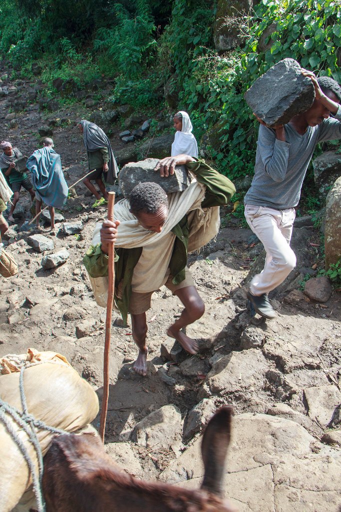 |
| On their way to the market | |
| Latitude: N 11°29'11,69" | Longitude: E 37°35'39,01" | Altitude: 1609 metres | Location: TâÄ«s Isat | State/Province: Amhara Region | Country: Ethiopia | Copyright: Ron Harkink | See map | |
| Total images: 53 | Help | |
|
|
|
| On their way to the market | |
| Latitude: N 11°29'11,69" | Longitude: E 37°35'39,01" | Altitude: 1609 metres | Location: TâÄ«s Isat | State/Province: Amhara Region | Country: Ethiopia | Copyright: Ron Harkink | See map | |
| Total images: 53 | Help | |